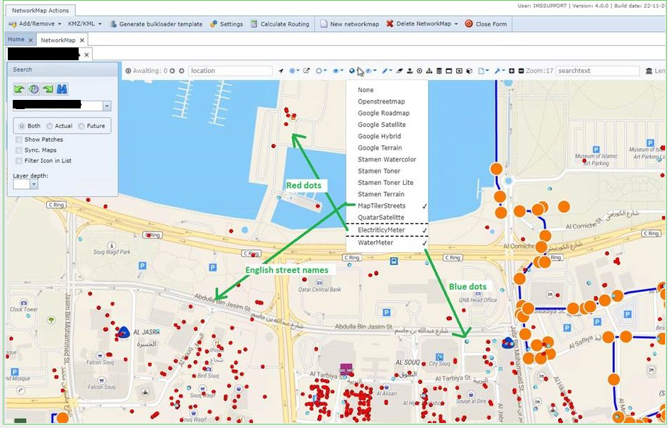
The Network Map feature can display more than one tiled layered map at once, provided that each map layer selected for display, is within a different group of map layers.
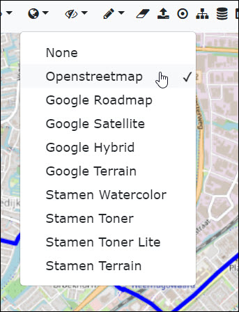
The default display group of tiled layered maps is called 'Tile' and offers various types of background maps, of which only one can be chosen from that group to be displayed i.e., Openstreetmap as can be seen in the following screen shot.
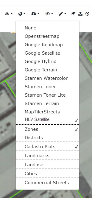
Other groups of maps can be set as an administrative function, by VC4 staff, according to the business requirements of each customer. Each IMS customer can create their required maps with relevant content, and be loaded onto the server.
Each group might only contain one map layer per group and typically represents the predominant base information of that map i.e., Electricity Meter Grid, which contains location information about all the meters. Another example might be Water meters from the water agencies, showing where these are also located.
As stated before, multiple layers of tiled maps can be selected, but only one from each group. Groups are divided by dashed-lines as show below:
The result of the multi tile layered map is a combination of valuable information from other sources as well as IMS.